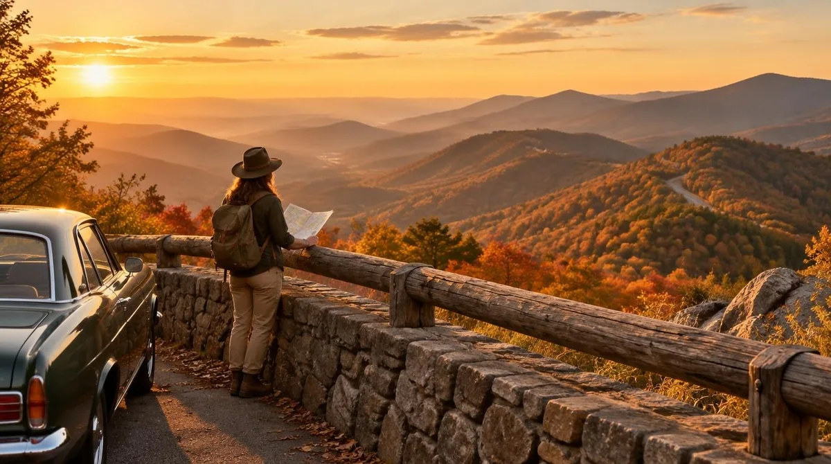
Shenandoah National Park is one long ride along a ridge. Skyline Drive runs 105 miles on the crest of the Blue Ridge Mountains, and it is the only public road through the park. The full drive takes about three hours on a clear day, though most travelers stretch it into a full day of stops. A private vehicle pass costs $30 and holds for seven days.
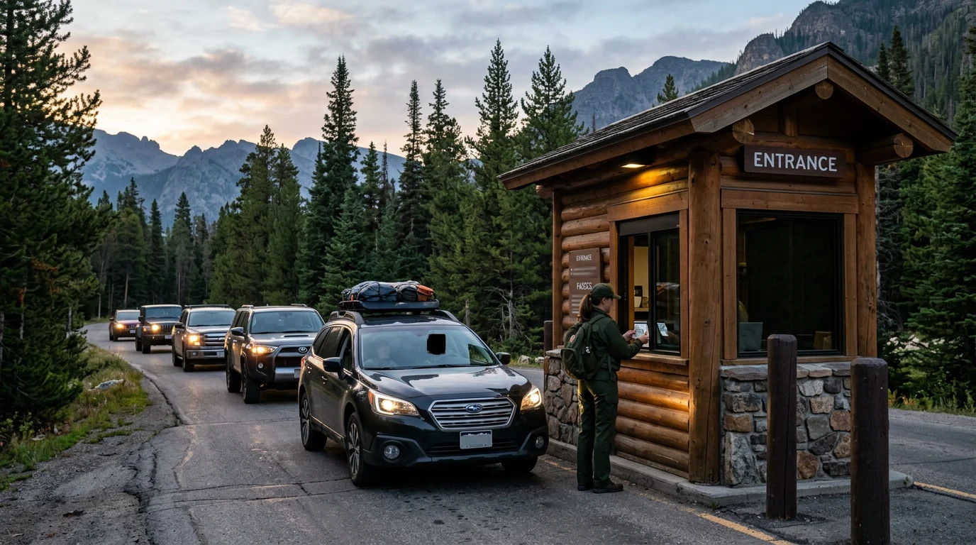
The road reads like a story told in gaps. Four entrance stations punctuate the crest. Front Royal opens the road at mile 0 on the north end. Thornton Gap sits at mile 31.5 on Route 211 near Luray. Swift Run Gap waits at mile 65.5 on Route 33 near Elkton. Rockfish Gap closes the run at mile 104.6, where Interstates and Route 250 meet the north end of the Blue Ridge Parkway.
Miles 0 to 31.5: The North End from Front Royal
The ride south from Front Royal climbs fast into the first long views. The speed limit sits at 35 mph along most of the drive, which suits a road built for looking rather than covering ground. Mileposts run along the west side of the road, and the park numbers every pullout against them. Fog and ice can shut sections without warning in colder months, so the park posts alerts by text as well as online. The drive stays open around the clock in normal weather, seven days a week, though storms can close gates at any time of year. When gates close, walkers may still enter at entrance stations or boundary access points. Travelers can text SHENALERTS to 888777 for closure news as it happens. For related coverage, see Olympic National Park in Three Days: The Loop That Ties the Worlds.
Miles 31.5 to 65.5: The Middle Miles Through Shenandoah National Park
The middle stretch carries two landmarks worth noting on any map. Marys Rock Tunnel bores through the ridge at mile 32.2 with a clearance of 12 feet 8 inches, a figure tall rigs and roof boxes need to respect. Big Meadows anchors the halfway country at mile 51, a hub of trails and services near the center of the run. This middle section rewards slow driving and short walks more than any single headline stop.
Miles 65.5 to 104.6: The Long Slide to Rockfish Gap
The south end runs quieter as the land rolls toward Rockfish Gap. Entrances at Swift Run Gap and Rockfish Gap give drivers easy on and off ramps toward the valley towns below. The last stretch drops through longer views and fewer cars, a fitting wind-down after the busy middle. At the finish, the drive hands off to the Blue Ridge Parkway, which continues south toward the Great Smoky country. Many road trippers treat that handoff as the natural continuation of the same crest ride.
Fees, Cards and the Old Rag Ticket
Vehicle entry runs $30, motorcycles $25, and walkers or cyclists $15 per person. An annual park pass costs $55. The park has been fully cashless since July 1, 2025, so cards and mobile payments carry the whole fee system. One extra rule stands out: hikers headed to the Old Rag area need a day-use ticket from March 1 through November 30, on top of the entrance pass. Camping at Shenandoah National Park stays a separate fee, and senior or access pass holders get half off camping. Free entrance days land through 2026, including February 16, May 25, June 14, July 3 to 5, August 25, September 17, October 27 and November 11. Cash-only travelers can buy passes at listed third-party vendors before the trip. For related coverage, see How to Read a Yellowstone National Park Map Like a Trip Plan.
Conclusion: Reading the Crest Like a Road Map
Shenandoah National Park works best when the drive itself is treated as the main event. One planning note carries the day: gas and charging options stay limited along the crest, so drivers should arrive with a full tank at Front Royal and treat every gap between overlooks as part of the plan, not dead mileage.